
In the context of complex structural and infrastructural projects, the information approach of BIM (ISO 19650 – Organization of information about construction works) is configured as a rational system for the management and display of information. The great advantage of the BIM approach concerns the possibility of managing a large amount of heterogeneous information by exploiting the simplicity of use of a three-dimensional and sufficiently detailed information model of the work.
Like any other AEC sector discipline, the geotechnical discipline has its place within the BIM-type information models. Starting from the IFC4.3 RC1 standard, there are in fact specific objects dedicated to geotechnical information concerning both factual data (tests and monitoring) and interpreted data (informative stratigraphy).
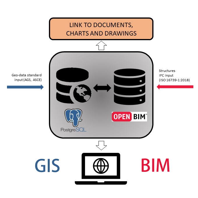
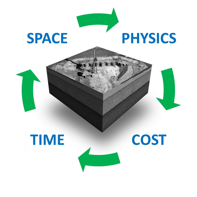
ENVIA offers its customers solutions that include the management of geotechnical data in BIM-compatible formats, as well as hybrid GIS + BIM management solutions. This approach allows, from the earliest stages of the project, to generate value from information on the subsoil while responding to the technical and regulatory requirements inherent in the use of BIM at the work scale. This approach is very valuable in the field of complex projects from the point of view of soil-structure interaction (e.g. large industrial plants, wind plants, etc.) and infrastructures, for which the geological unexpected represents a significant source of risk.
ENVIA has also developed a series of work tools that allow you to define forecast models (based on FEM modeling and, to a lesser extent, DEM modeling) and classification and regression criteria (based on machine learning) directly from the BIM models shared with the partners and customers.